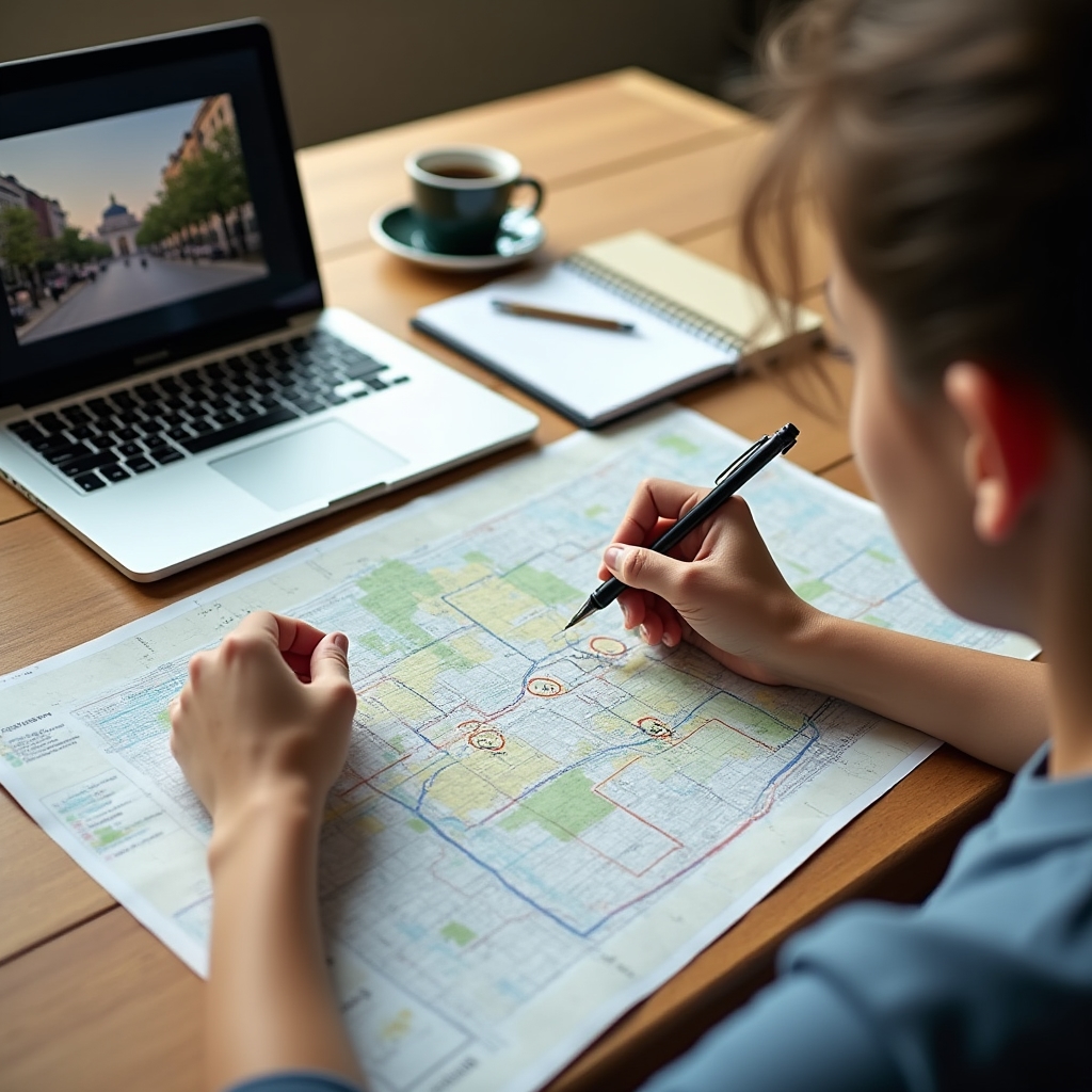
Aerial view of a public park layout with paths and seating areas
About Yarebe

A course built from field notes, not textbooks alone

Yarebe grew out of a simple frustration: most writing on public space is either too academic to be useful on a walk through town, or too promotional to be trusted. This course tries to sit somewhere in between.

An instructor pointing at a printed city map while explaining a concept to students

Watching one square for a year, then wondering about the rest

The course began as a personal project: recording the same neighbourhood square at different times of day, across different seasons, to understand why its usage patterns shifted so much. What started as a curiosity turned into a broader comparison with other plazas, parks, and pedestrian streets in different cities.

What became clear fairly quickly is that no single design feature explains a space's success on its own. Sun exposure matters, but so does the presence of nearby shops, the height of surrounding buildings, the placement of a single bus stop. Small decisions compound. That complexity is the actual subject of this course, not a simplified version of it.

Yarebe is not affiliated with any single university department or design firm. It draws on published research, on-the-ground observation, and conversations with people who work in planning, retail, and park maintenance, people whose daily experience of these spaces rarely makes it into academic papers.

Teaching approach

A method rather than a set of conclusions

Recorded observation first

Before any interpretation is offered, you watch the raw material: crowds, empty benches, weather, time of day. This is intentional. Reading a space is a skill that develops with practice, and skipping straight to conclusions would undercut that.

Multiple explanations, weighed honestly

When a plaza fails to attract people, there is rarely one cause. The course presents competing explanations and shows the evidence for and against each, rather than settling on a single tidy answer.

Grounded in named, real places

Every example refers to an actual plaza, park, or street, described honestly, including its limitations. Abstract diagrams are used to support these examples, never to replace them.

Room for disagreement

Public space research is an evolving field with genuine disagreements among practitioners. Where the course presents a contested idea, it says so, and leaves space for students to reach their own view.

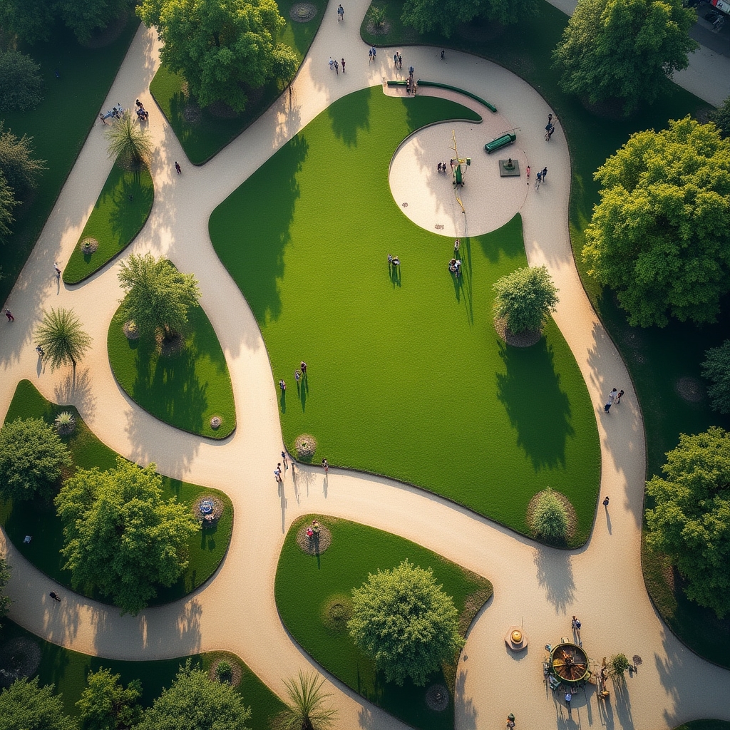
A person marking observations on a printed street map with a pen
Who puts it together

A small, focused team

The course material is developed by a small group with backgrounds spanning urban planning, landscape architecture, and independent research into pedestrian behaviour. Rather than listing credentials, we would rather you judge the material on its own terms: watch a sample lesson, read the course outline, and see whether the reasoning holds up.

New modules are added gradually as new city comparisons are filmed and written up. The pace is deliberately unhurried, since good field observation cannot be rushed without losing what makes it useful.